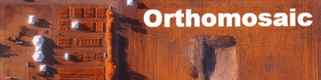
Viking Colony DEKALB canola ... as seen by AgEagle
Flown using a modified 20 MP camera that filters out red wavelengths and adds near infrared light. Produces a reddish image.


NDVI (normalized difference vegetation index) uses false colours to show differences in crop growth & crop health. Generally, red areas are thin crop or unhealthy crop.
The AgEagle can also produce detailed digital terrain models of your fields, or it can be used for other surveying work.
This field is quite flat, but it is interesting to see that some treatments are noticeably taller, even from 300' altitude.
NOTE: May require a desktop computer, as these models may not display properly on some devices.
Sometimes incredibly useful (for surface rights disputes, for example) ... but less interesting on a flat field like this one. The AgEagle system creates 3D models automatically after the flight.
